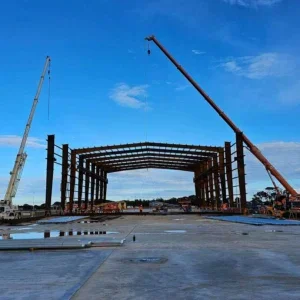
Under its Action for Transport 2010 plan, the New South Wales government in Australia plans to spend an average US$200m/year over the next ten years on new infrastructure and is developing new partnerships between private and public enterprise to realise several vital transportation projects. Underground alignments play an important role on the major new transportation projects that aim to improve road and railway infrastructure in Sydney and regional districts early in the new decade.
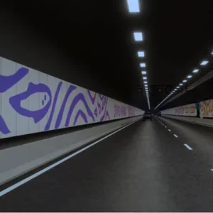
One of the earliest of these will be the Cross City road tunnel (12 on map). Running for about 1.5km and about 25m directly below Park and Druitt streets, the 4-lane road tunnel, excavated through Sydney’s Hawkesbury Sandstone, will link the Eastern and Western Distributor highways. Construction is scheduled to start after the Sydney Summer Olympic Games in September 2000 and is scheduled to be opened by 2004.
Two tunnels account for about half the current 10km long M5 East Highway extension between the city and the airport (11 on map). A 3.9km long, 4-lane, twin-tube tunnel will be excavated through Hawkesbury Sandstone using roadheaders and a 500m long cut+cover operation between diaphragm walls will complete the Cooks River crossing.
The ten year government funded US$500m design, construct, operate and maintain project was awarded in August 1998 to the Baulderstone Hornibrook-Bilfinger+Berger JV. Hyder Australia is tunnel designer to the contract. Excavation of the tunnel started recently and the new non-toll highway is scheduled to open in mid-2002.
The most imminent rail tunnel project is part of the Eastern Suburbs rail link extension to Bondi Beach (2 on map). The US$131.3m project recently won federal financial support and is planned to open in 2002. The plan involves a new 3km underground alignment to a new station adjacent to the beach.
The largest of the current rail tunnel proposals is the US$933m, 27km long Parramatta to Chatswood rail link, 70% of which is underground in bored tunnel (3 on map). In the project’s environmental impact study (EIS), approved in December 1999, the new line with its five stations is planned to be built and opened by 2006. The EIS alignment includes a bridge over the Lane Cove River in one of the city’s national parks.
The estimated US$233m Epping to Castle Hill rail link (5 on map) incorporates a 7km tunnelled alignment and is expected to be built and in service by 2010. A detailed study will be undertaken and a route reserved for an additional extension from Castle Hill to Rouse Hill to meet further growth in the area beyond 2010.
The 11km long underground rail link from Hurstville to Strathfield (7 on map) will create a new north-south link to connect five existing rail lines and open up new development opportunities along the corridor.
Related Files
Heavy Rail